

Join us
Mapping Syria,
Mapping Syria,
Together!
OSM Syria (OpenStreetMap Syria) is a volunteer-run open mapping community in Syria, built around OpenStreetMap.
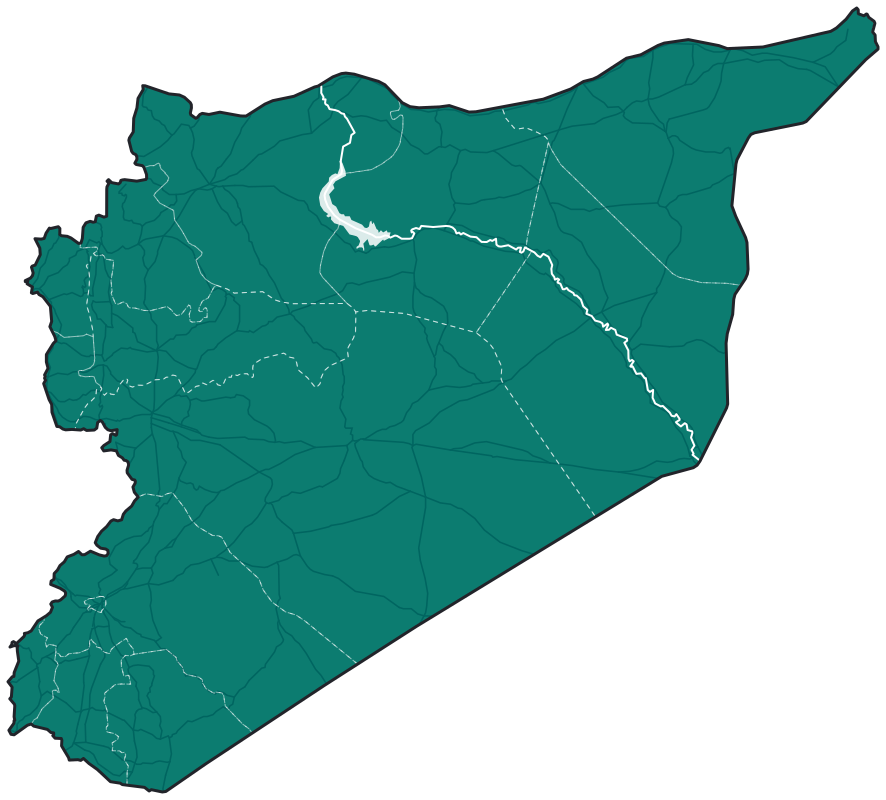
Accurate open maps aren’t a luxury. They’re infrastructure.
OSM Syria exists to close that gap — from within, by Syrians, for everyone.
What
Trace buildings, roads, and every other detailed map feature from imagery and other sources into OpenStreetMap.
Why
Better data means faster aid, safer roads, and stronger reconstruction and development planning.
Who
Anyone who likes maps and the technology behind it — no previous experience needed.
Date & timeAlways
LocationSyria / Online
CostFree
Community goals
-
1
Help build and maintain open-source maps of Syria that support humanitarian response, connectivity, urban planning, and geographic data sharing.
-
2
Expand the social network of people in Syria and the diaspora who care about maps, geography, and open technology.
-
3
Organize volunteer activities and free training sessions around mapping and geospatial technology — raising the skills of participants and the community as a whole.
Our community around the world
Contributors inside Syria and across the diaspora, drawing one map.

Contributors · the number shows how many
Drag to move · double-click or select a dot to zoom in
101locations on the community map
19countries
58%inside Syria
Locations are grouped into approximate areas to protect members’ privacy. Source: the community map on uMap.
By country
And one contributor each in Sweden, Indonesia, the UAE, the United Kingdom, Canada, Austria, Belgium, Egypt, Ireland, Nigeria, Lebanon, Italy and Japan.
Inside Syria, by governorate
And one each in Deir ez-Zor, Al-Hasakah and Tartus.

Frequently asked questions
Do I need previous experience?
No. Mapathons usually start by showing how to create an OpenStreetMap account, then we map together on real projects.
Is it free to take part?
Yes. The community is volunteer-run, and training and activities are free.
What language are activities in?
Mostly Arabic. Some sessions are in English or have live interpretation.
I missed an activity. Is there a recording?
Most online sessions are recorded on YouTube, with links in the public community document.